
The Complete Guide to Tracing Ancestors Through Historical Land and Property Records
Land deeds, tax lists, and property surveys can locate ancestors who left few other traces. A thorough walkthrough of this often-overlooked record type.
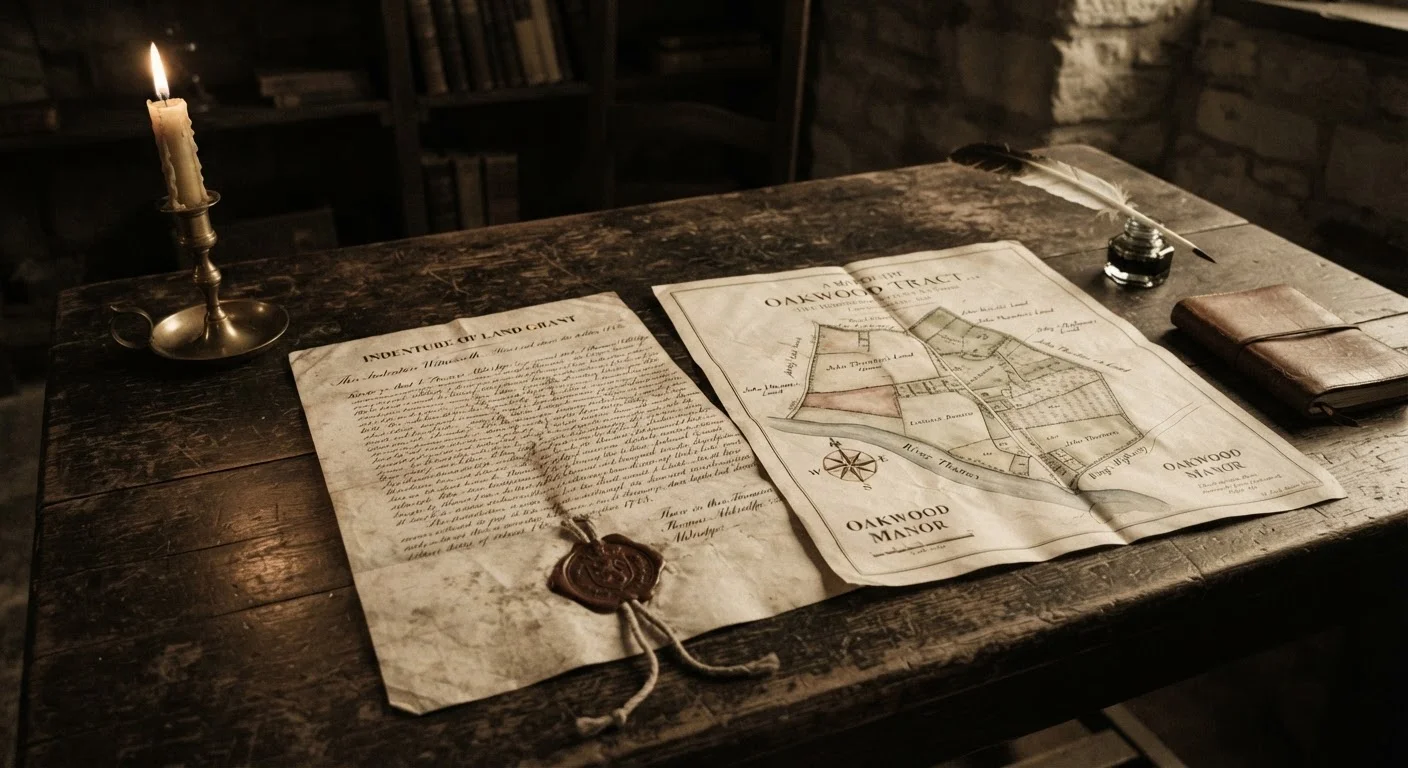
Photo: searchopenrecords editorial
—— In This Article
Key Takeaways
- Land deeds often predate civil registration and can document ancestors who appear nowhere else.
- Grantor-grantee indexes are the standard entry point for locating deeds at the county level.
- Metes-and-bounds descriptions name neighbors, helping you identify previously unknown relatives.
- Tax lists fill census gaps and can track a family's movements decade by decade.
- Federal land-entry case files (BLM GLO records) are free to search and download online.
Why Land Records Matter for Genealogy
For millions of American families, land records exist long before birth certificates, marriage licenses, or census rolls. Civil registration of vital events didn't begin in most U.S. states until the late 1800s or early 1900s, yet colonial-era deed books survive from the 1600s in many eastern counties. That makes property records among the oldest continuous documentary series available to family researchers.
Beyond age, land records carry a density of information that vital records rarely match. A single deed can reveal a person's county of residence, the names of neighboring landowners (often relatives), the names of witnesses, a signature or mark, and sometimes a stated relationship such as "my son" or "my daughter." As part of a broader family roots research strategy, property records frequently unlock generations that other document types simply cannot reach.
When you find an ancestor in a deed book, immediately search the same index for every other person named in that document — witnesses, neighbors mentioned in boundary calls, and the opposing party. Migration chains routinely reveal themselves through this cluster method.
Genealogists working colonial and frontier records consistently find that families and neighbors relocated together, making the social network around a deed as genealogically significant as the deed itself.
Before searching any deed index, consult a historical county boundary map for the relevant decade. If you search the wrong county because a boundary shifted, you will find nothing — even when records are complete.
County formation was rapid and continuous throughout the 18th and 19th centuries; an ancestor's land could fall in three different counties over a 30-year period without the family moving an inch.
Types of Historical Land and Property Records
Understanding what documents exist is the first step toward using them effectively. The major categories include:
- Deed books — Recorded transfers of land between private parties. The seller is the grantor; the buyer is the grantee. These are held at the county courthouse and indexed by name.
- Land grants and patents — The original transfer of public land from a government (colonial, state, or federal) to a private individual. Federal patents issued after 1788 are searchable through the Bureau of Land Management's General Land Office (GLO) Records portal.
- Tax lists and assessment rolls — Annual inventories of taxable property owners. Because they were compiled every year, they can pinpoint when an ancestor arrived in or departed from a county — filling gaps between censuses.
- Plat maps and survey records — Graphic representations of land boundaries. Survey field notes often name adjoining landowners and can help you place a farm precisely within a township.
- Mortgage and lien records — Document financial transactions tied to land, sometimes naming heirs or creditors who are family members.
Each type serves a different research purpose. For a fuller picture of underused record categories, see eight record types genealogists often overlook.
Where to Find These Records
Access points depend on the record type and the time period involved.
- County courthouses and recorder's offices — The primary repository for deed books in most states. Many older volumes have been microfilmed by the Family History Library (operated by The Church of Jesus Christ of Latter-day Saints) and can be requested through local Family History Centers.
- State archives — Hold colonial grants, early survey records, and tax lists that predate county formation. Many state archives have begun digitizing these collections.
- BLM General Land Office Records (glorecords.blm.gov) — Free federal portal covering land patents issued in public-land states (generally states admitted after the original thirteen colonies). Downloadable images of original documents are available for millions of entries.
- FamilySearch.org — Provides free access to a large and growing collection of digitized deed books and land records indexed by county.
- Local historical and genealogical societies — Often hold deed abstracts, surname indexes, or county histories that can accelerate your search.
If records predate reliable digital coverage, research strategies for pre-1800 ancestry offer practical guidance on locating original sources.
Public-Land vs. State-Land States
The U.S. is divided into 'state-land states' (the original thirteen colonies plus Maine, Vermont, West Virginia, Kentucky, Tennessee, Texas, and Hawaii), where land grants originated with the colonial or state government, and 'public-land states,' where the federal government issued patents through the General Land Office. The distinction determines where you search first: state archives for the former, the BLM GLO portal for the latter.
How to Read and Interpret Land Documents
Land records use specialized legal language that can seem opaque at first. Two measurement systems are common in the U.S.:
- Metes and bounds — Used in the original thirteen colonies and states carved from them, plus Texas. Boundaries are described using compass bearings, distances, and physical landmarks or neighbor names (e.g., "to a white oak on the line of John Miller").
- Public Land Survey System (PLSS) — Used in public-land states (most of the Midwest, South, and West). Land is described by township, range, and section numbers within a grid referenced to a principal meridian.
When reading a deed, record every name — grantors, grantees, witnesses, and any person mentioned in boundary calls. These individuals are often family members, business partners, or former neighbors who migrated together. The date of the deed versus the date it was recorded can also reveal how long an ancestor held property before registering the transfer. For a broader orientation to historical document types, see the historical record types every researcher should know.
Using Land Records to Reconstruct Family Relationships
One of the most powerful genealogical techniques involving land records is called cluster research — examining not just your ancestor's deeds but also those of every neighbor, witness, and party named nearby. When a family migrated, members often settled in close proximity. By mapping all transactions involving a surname cluster in a county, researchers frequently identify siblings, cousins, or in-laws who never appear together in a census or vital record.
Estate-related land transactions are especially valuable. When an ancestor died without a will, the court divided land among heirs through a legal process recorded in deed books. These partitions explicitly name children (including married daughters under their husbands' names), spouses, and sometimes grandchildren. Combining this approach with census record research often closes gaps that neither source could fill alone.
Tax lists offer a complementary timeline. If an ancestor appears on a county's tax list for the first time in 1847 and disappears after 1853, you have a narrow window for targeted deed and probate searches — much more efficient than scanning entire decades of records.
Common Pitfalls and How to Avoid Them
Several recurring problems trip up researchers working with land records:
- Name variations — The same person may appear as "William," "Will," "Wm.," or even "Billy" across different documents. Search all plausible variants in grantor-grantee indexes.
- County boundary changes — Ancestors didn't move, but their county did. If a record seems missing, check whether the territory was part of a parent county at the relevant date. Historical county boundary maps (available from resources such as the Atlas of Historical County Boundaries) are essential reference tools.
- Gaps in digitization — Not every deed book has been microfilmed or scanned. Absence of a record online is not evidence the record doesn't exist. Contact the county recorder's office or state archive directly.
- Mistaking a witness for a relative — Witnesses were sometimes neighbors rather than kin. Cross-reference any assumed relationship against at least one additional source before treating it as established fact.
For researchers building a systematic methodology, the full walkthrough at family tree research from concept to documented lineage shows how land records fit within a complete evidence-based approach. Additionally, lesser-known record sources covers complementary documents — such as military pension files and church registers — that pair well with deed research to produce a richer, more verified family history.

Genealogy Search Editorial Team
Genealogy Search Editorial Team is the collective byline for our editorial team and contributor network. Articles published under this byline or an editorial pen name are researched, written, and reviewed according to our editorial standards for clarity, consistency, and independence before publication.
View author profile